Over a week after the event you have probably seen and read enough Rock Cobbler 6.0 Race Reports to have a good understanding of how it was the mudpocolypse of 2019 and how this year we got to ride through Race Director, Sam Ames, house! But if you haven’t here’s mine.
I’ve been fortunate, I think that is the right word, to have ridden 3 out of 6 of the last Cobbler’s, my streak was broken last year with pesky work getting in the way and making adult decisions.
Each year the race gets weirder which is French for harder and this year was no different…and to be honest what would you expect from a race whose marketing tag line is “it’s stupidly hard”! So with that said, on with the show!
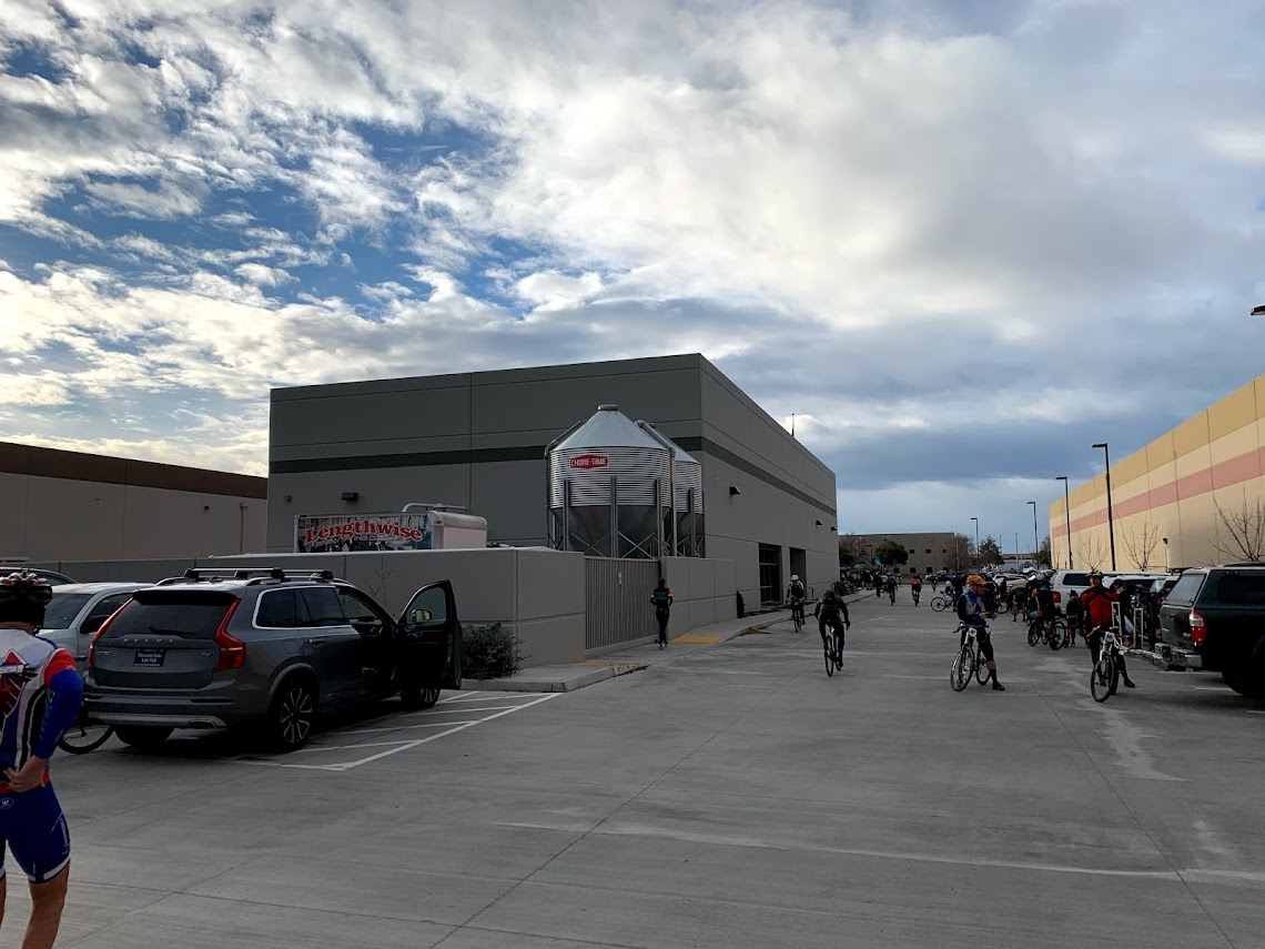
I had driven up Friday afternoon and gone through packet pick up without any issues, availing myself of some fish and chips and some liquid courage at Lengthwise, the host brewery! All good races start and finish at a brewery right, Hotel parking lots are so 2012! Becca had opted to stay at home as her hip injury is painful at best and the thought of spending the day in the car was not appealing. Other than some spotty traffic, the drive was uneventful.
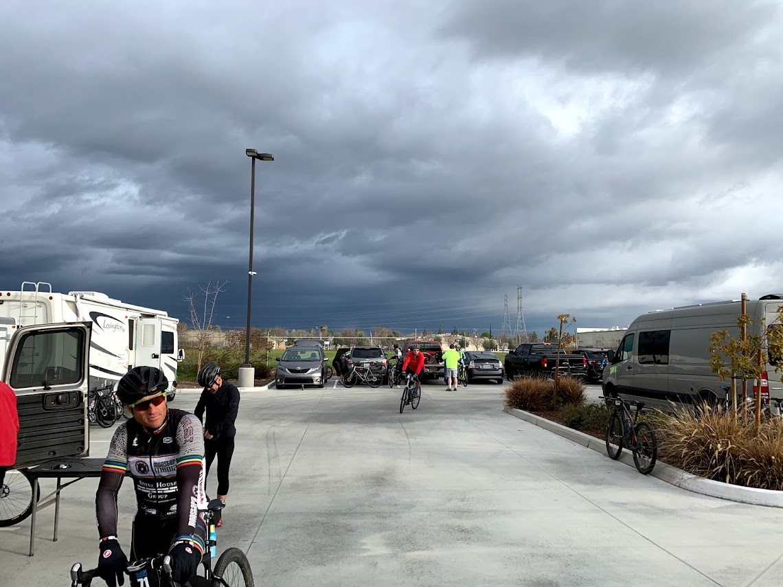
Unless you’re not local Southern California has been having some rain and the week leading up to race we had rain early in the week. That left 3-4 days for the course to dry out but there was one day of rain in the offing. As we neared the weekend the forecast went from rain Friday day, to Friday night and as we woke Saturday morning the roads were dry and skies were heavy.
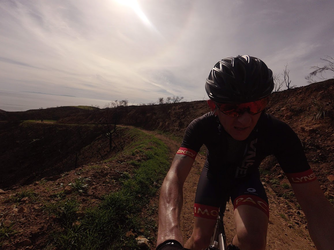
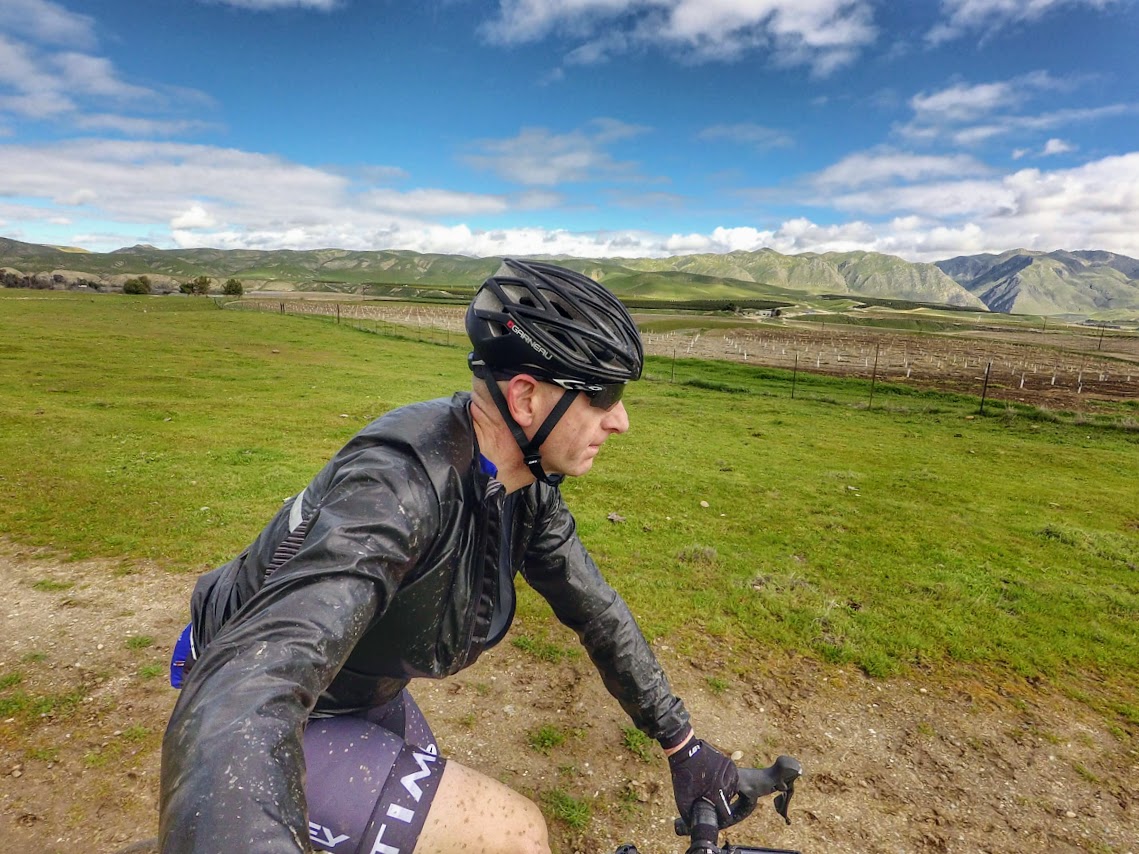
Folks were milling around in the Lengthwise Parking Lot putting on and taking off clothing, depending which way you looked we were riding into Mordor or the Emerald City! As usual I was a Pactimo walking model and I was able to break out some custom Lynskey kit that I had designed and had made up through the Pactimo Custom Program (ping me for more info) in the end I went with bibs on the bottom. A winter base layer, jersey, arm warmers and a light weight rain jacket and full fingered Louis Garneau gloves and Helmet, and my usual helmet liner from Headsweat, zero cover up top requires some protection from the sun (reinforced by my Dad’s recent melanoma removals) and it keeps me a bit warmer and soaks up the sweat on a hot day. The jacket folds down to nothing and actually fits into a jersey pocket or can easily, which is what I did, be stuffed up under your jersey in the back. In the end I think this was the best call, I wad definitely a bit chilly at the start but the jacket kept my dry and kept me warm at the end of the day.
I also stuffed my pockets full of Honey Stinger waffles and had a King Size Pay Day which would be a treat towards the end of the day. Pro tip; I’ve learnt now to snip the tops off everything, I don’t have to worry about opening things while riding. This makes eating so much easier and even more so with full fingered gloves.
So, with the national anthem ringing in our ears and the first drops of rain landing on our sunglasses we rolled out.
The first 15 or so miles are a neutral rollout, new this year was the route which took up through a quiet residential area. This minimized the break up of the peloton due to traffic lights and other than getting a little hairy going through wet “four corner crit” corners we were fine and in good spirits. After making our way to the usual bike path which funnels everyone to 2-3 abreast we were pretty strung out. The rain hadn’t eased either, the smooth but somewhat dirty bike path and pace meant that we were all getting a good face-full of splatter from the bike in front. Added to which I was regretting leaving my Ass Saver as home as my backside was slowly but surely getting damper and damper….oops! For future RD reading this, they make excellent Swag Bag gifts!
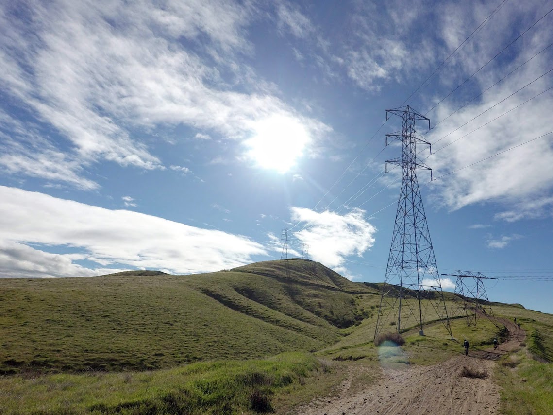
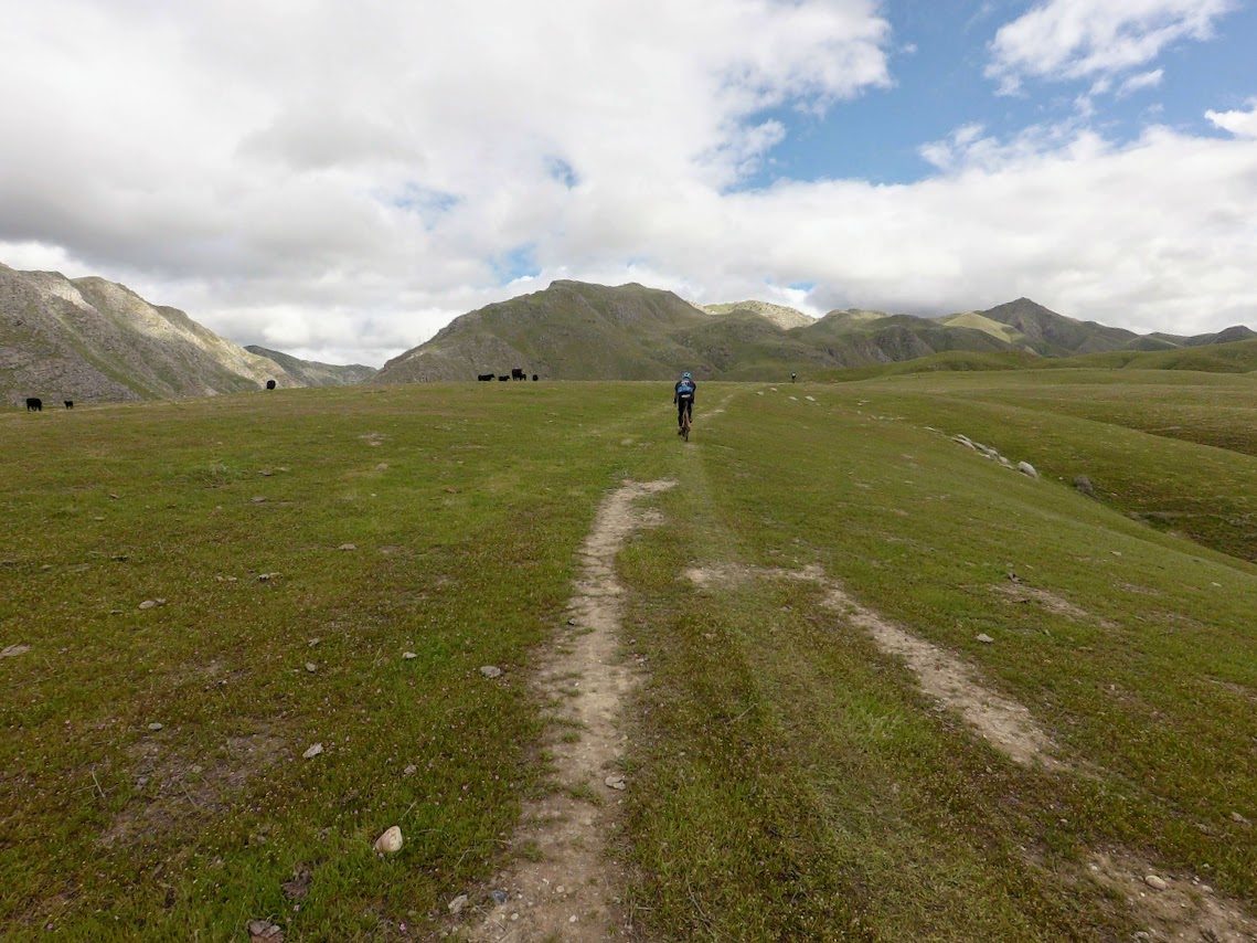
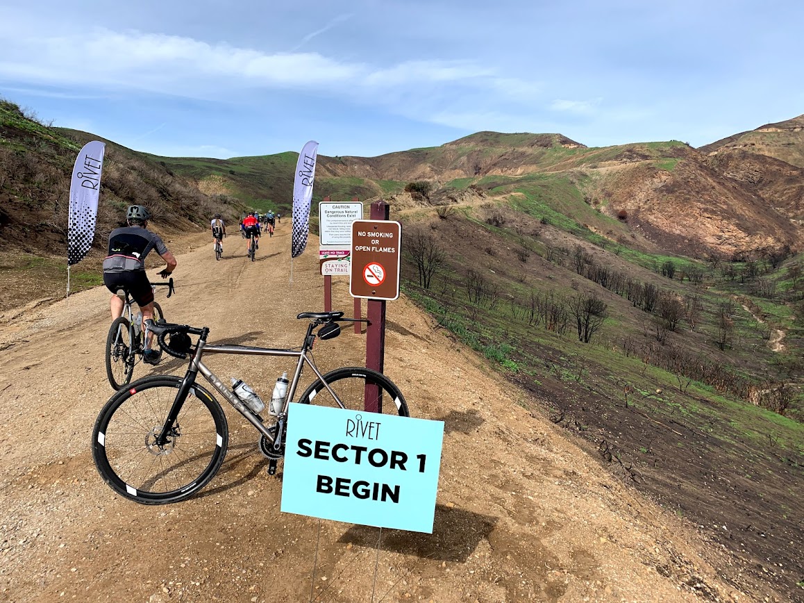
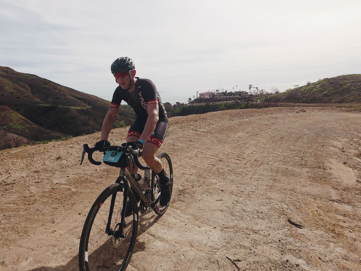
We finally exited this section and started the first off road part of the ride. Mostly single track this strung folks out quickly as they realized they were in the wrong gear riding up and just hadn’t brought enough gears to the party, see my thoughts below on this! Even with the current drizzle the surface was very ridable and we rolled around basically getting our bikes dirty and our heart rate into Zones 4/5.
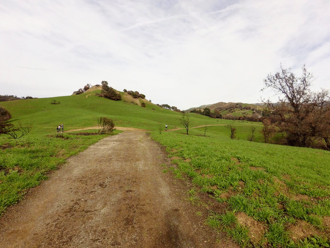
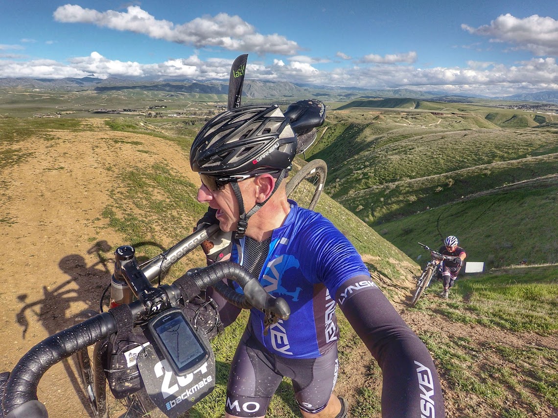
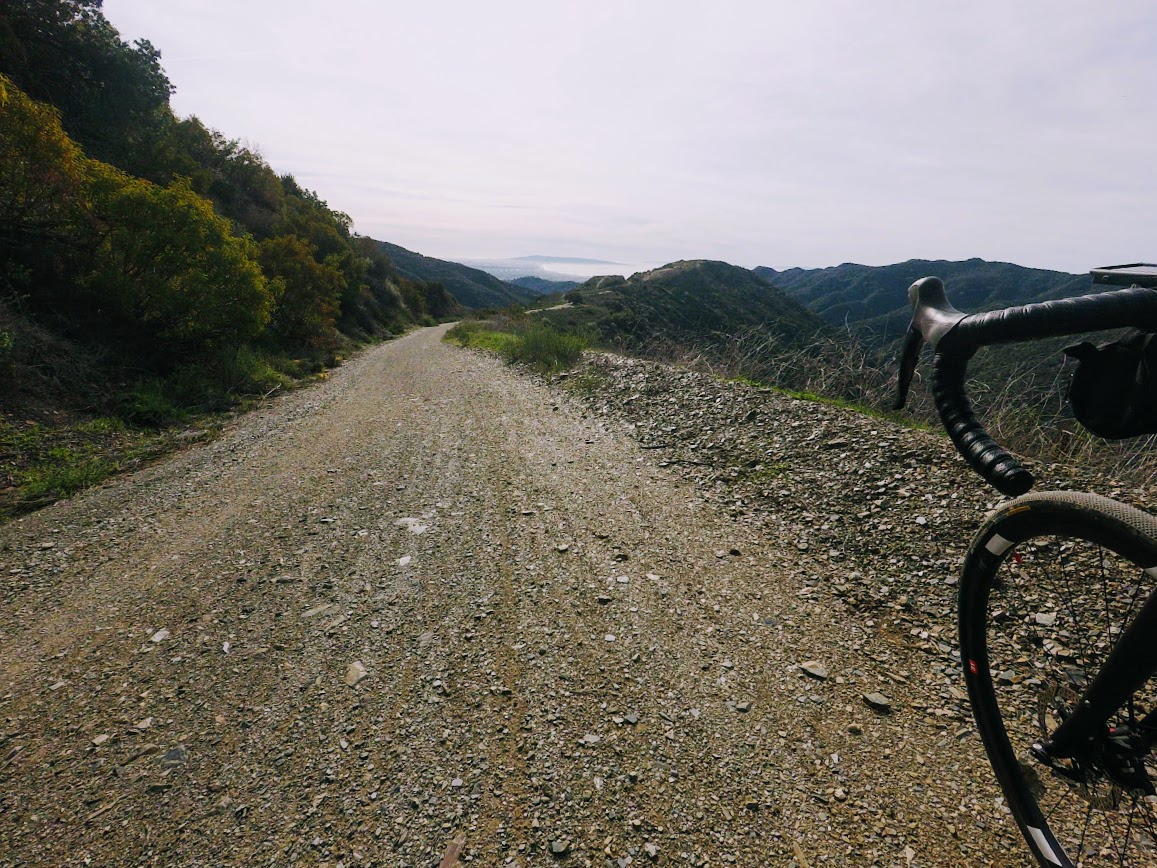
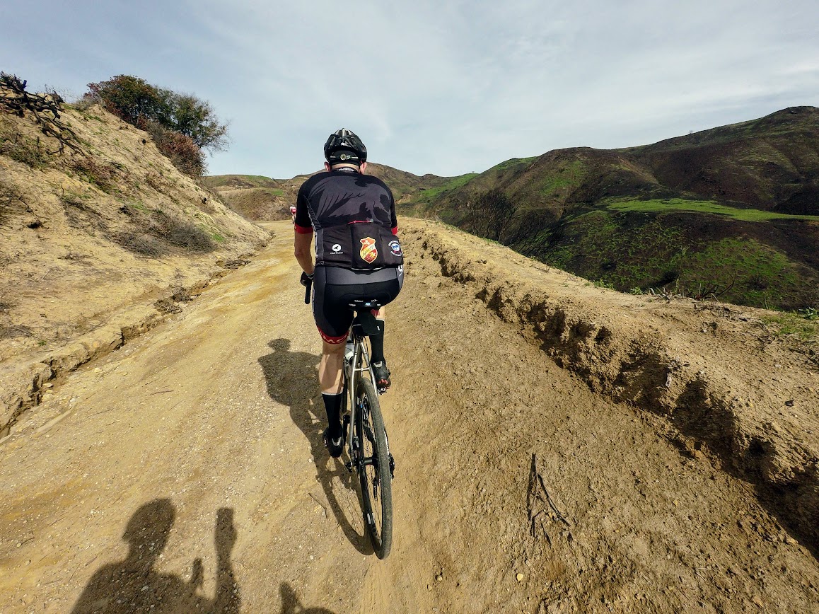
The following short section was a little less rideable….but fortunately very hikable…and was really only the threshold to the first long climb. The key, for me at least, is knowing when to ride and knowing when to walk. Riding is, generally speaking, always quicker, more comfortable and more efficient. Pushing a 20lb uphill in the mud generally sucks. So, most folks, walked, rode and took pictures. Once you were on the top it was a nice double track trail that was very rideable and gently descended over 5 miles.
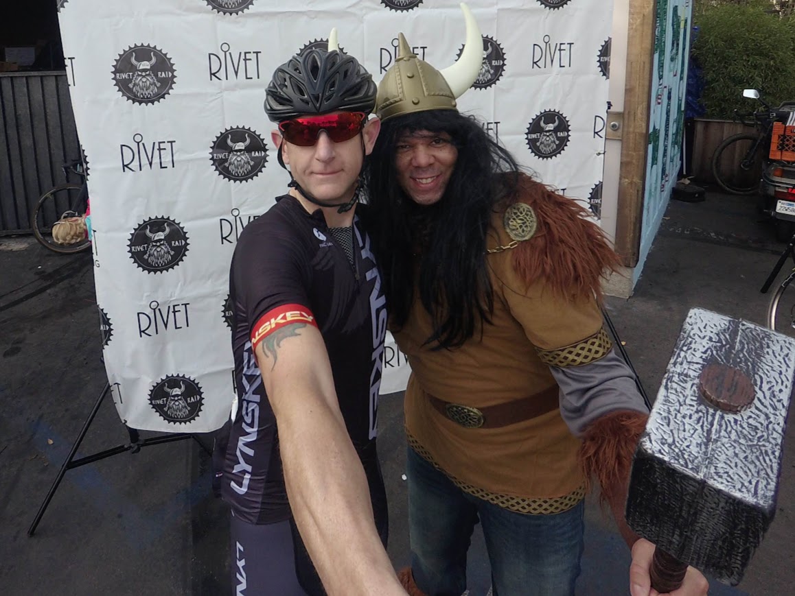
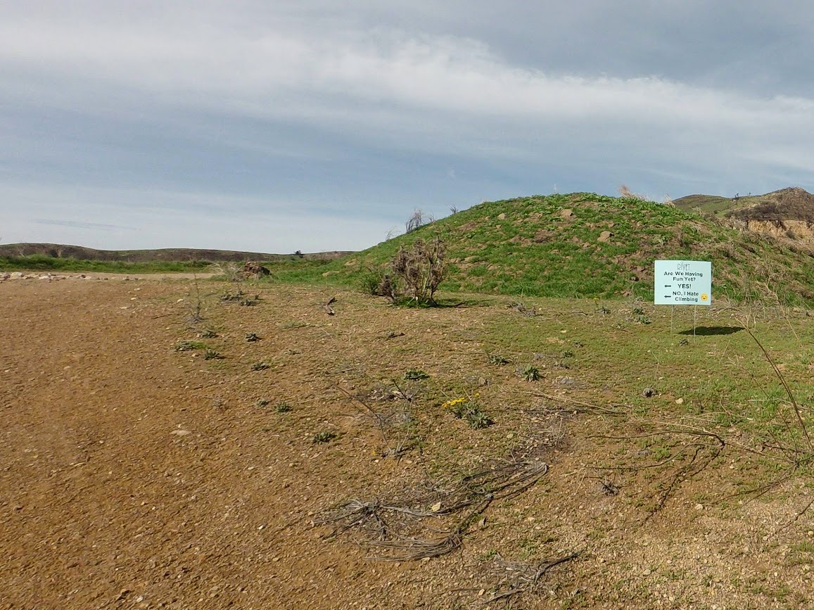
I saw the first Aid Stations and rolled by, I had no need to stop. We were spat out onto the road. From here we directed into a residential area. A short climb and we were at the end of a cul-de-sac?!? Where to go from here; up Sam’s driveway through his backyard, into his kitchen, passed his lounge and out the front door and down the red carpet…of course!
Back the way out and back onto the dirt.
Rolling our way along minding our own business and doing our best to find the best lines. We entered the section of trail that runs alongside the Kern River. This section was well churned up and more like some of the run ups you may see in Cyclocross, albeit taken to 11 with tree roots and low hanging branches…oh and new this year (vs. 2016) the Barb Wire fence had been broken was being held back, so you didn’t have to throw your bike over and climb through it. I saw one poor soul walking back out the way we had come in with a broken rear derailleur.
More ups, downs, lefts and rights and we were directed into the Private Orchard section. It’s at this point I would like to introduce our Sponsor for the next 5-7 miles…Jiffy Peanut Butter! As you would expect the orchards are very well irrigated add to that the aforementioned rain and we were in for a treat.
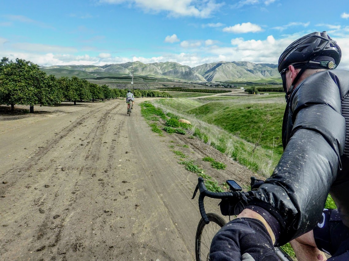

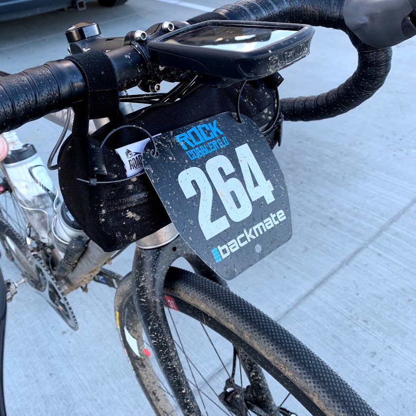
I was able to roll through most of it without issue and when I surfaced onto the road I saw a large group of riders with TacoMan standing by the entry to the next section. I was lucky enough to have avoided the worst of it and with riders grouped on the side of the road scraping thick mud off their bikes or breaking chains to try and remedy mechanical issues I joined a group and followed TacoMan on a minor detour onto the road and back onto the route a half mile or so away. At this point we were only 40 miles in, so less than halfway and had the big climb to come, elapsed time 3:23! A short day it is not!
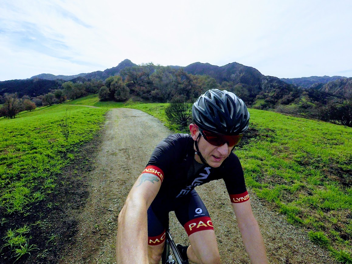
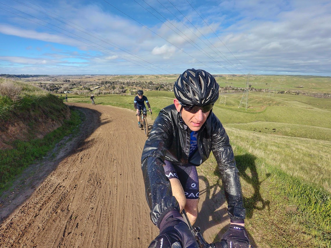
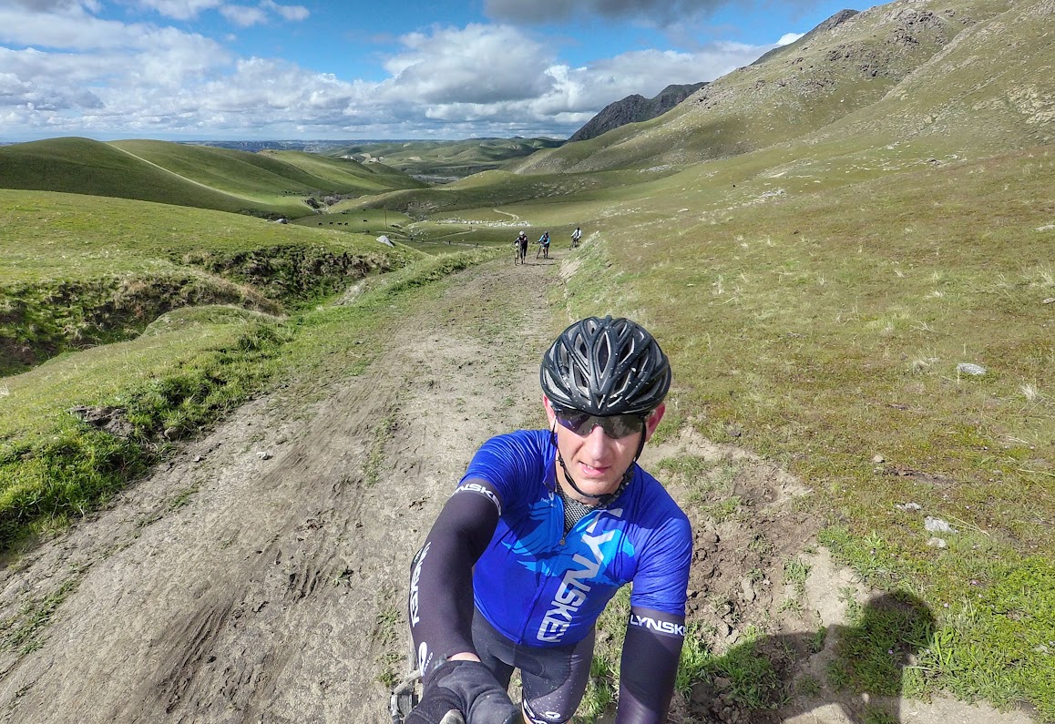
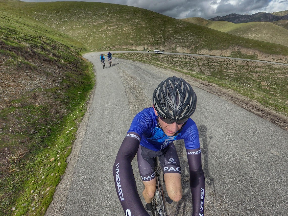
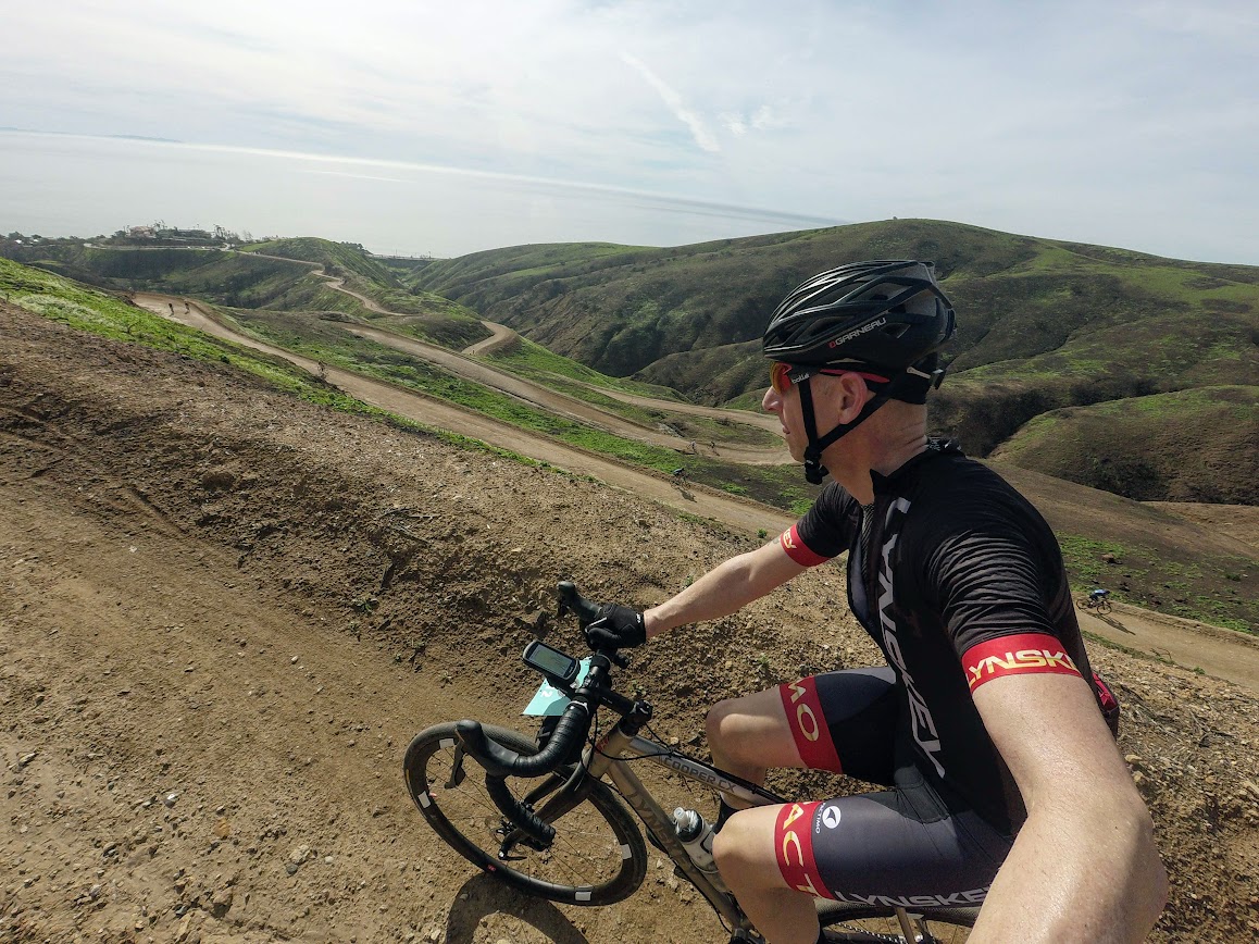
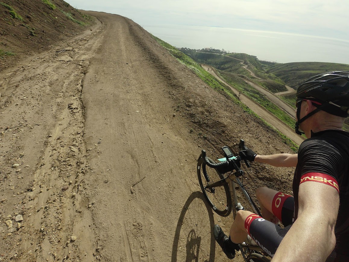
Again from 2016 race the “climb” was about 9 miles with a small drop after the summit. Ride and push were order of the day. There’s no point complaining you paid good money to do this! At the second summit your treated to roughly a 10 mile descent so I took the time to stop and put on my jacket, while the rain had stopped some time ago it wasn’t especially warm.
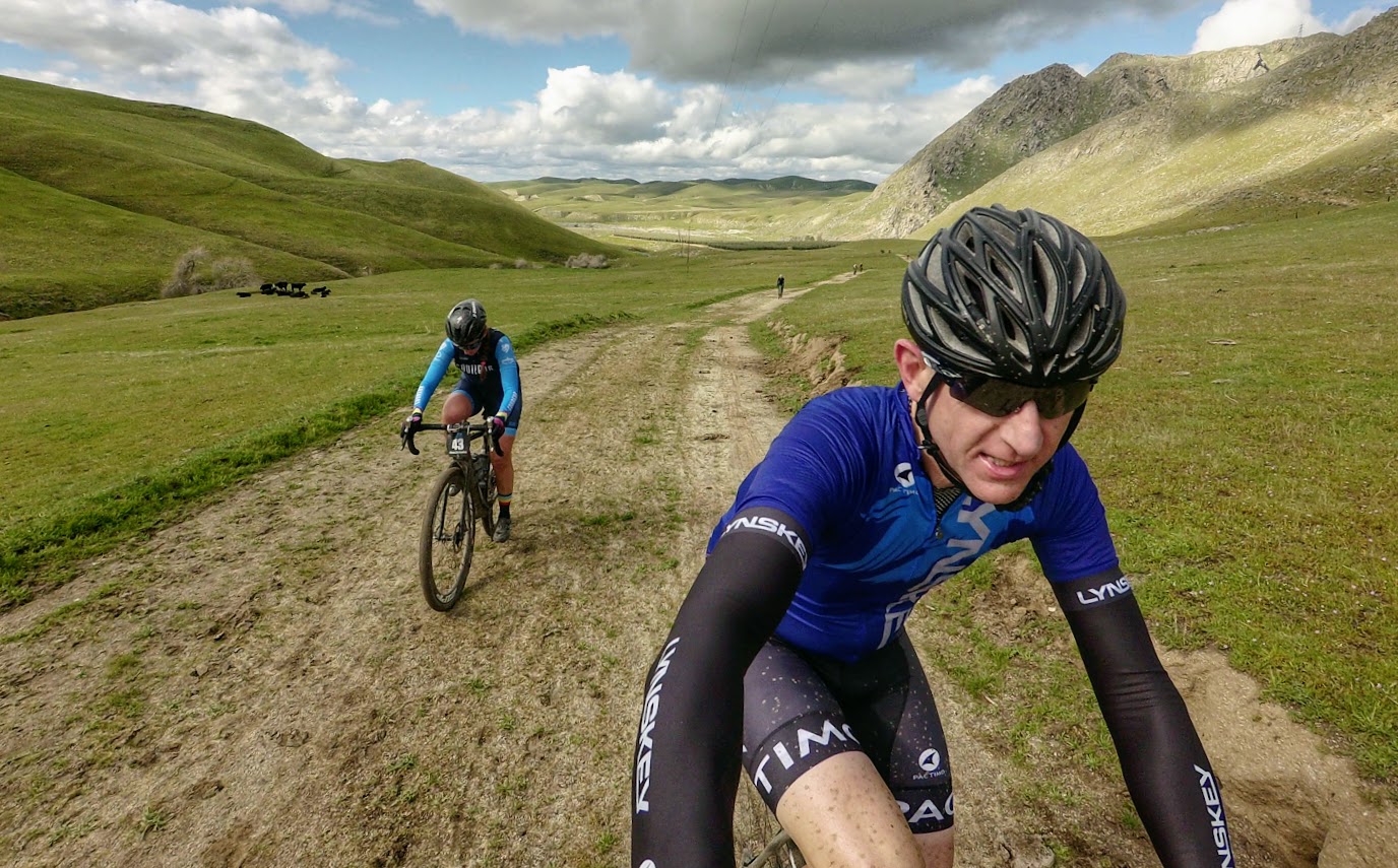

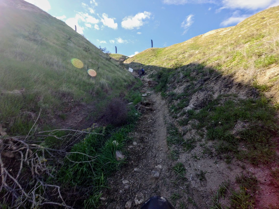
Some rolling along at the bottom and we finally hit the last “shenanigan” of the day, the Hike a Bike section, it’s only half a mile but tops out at 49.5% grade…so the clue really is in the name!
At the top there is an Aid Station and this would be my only stop of the day, a mini can of Sprite and a bio break and I was on my way again.
From here we had about 5 miles of dirt left and we were back on the river path for the ride to the finish. I leveled up my skills and was able to put my jacket back on without stopping…much easier on 33mm tire vs the 25mm on my road bike.
As usual the Finish is not at the start and you have to keep your eyes open for arrows to guide you there. A lot of people miss this detail (or don’t bother) and as such don’t pass through the Finish Line and a awarded a DNF. Once at the Finish I was too cold and too tired to linger. I buddied up with two other guys and we retraced our steps back to Lengthwise…and like that Rock Cobbler 6.0 was in the bag!
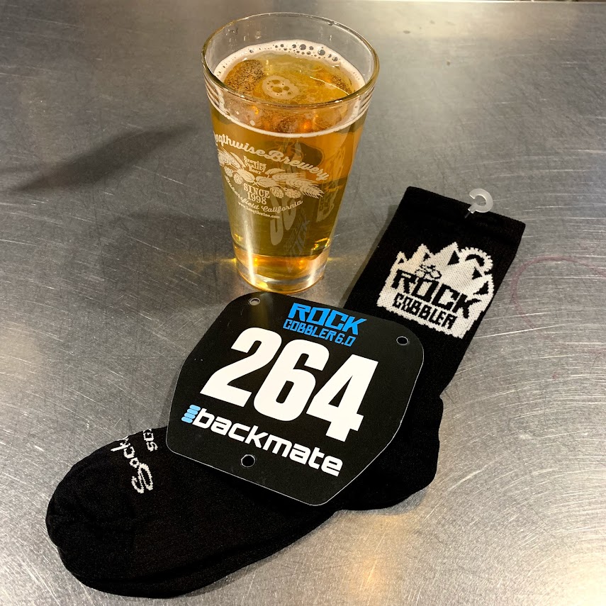
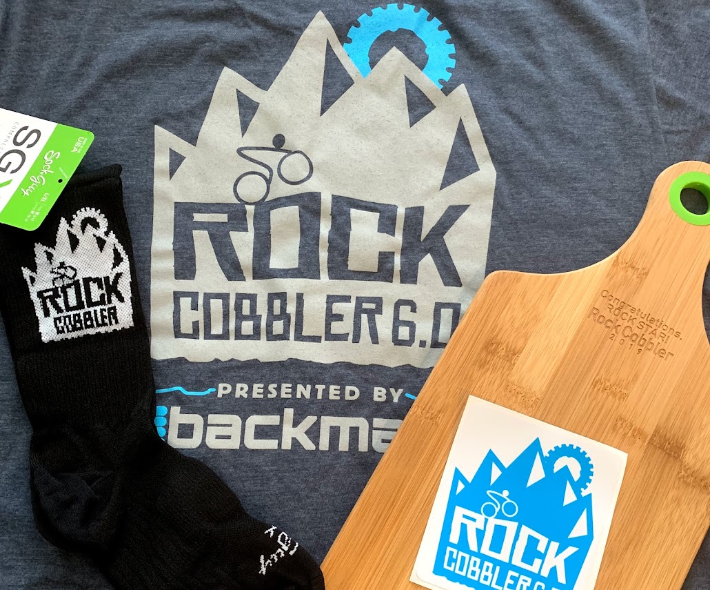
I grabbed my Cheese/Cutting Board said some farewells and was on my way home!
Some final thoughts on the race and the day;
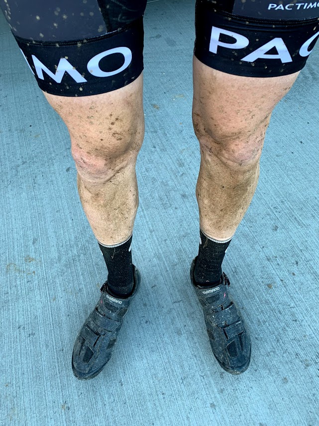
All in all I had a solid day. As noted it was wet and cold and I wasn’t sweating. I managed with two (yes just two) bottles and skipped all but the last Aid Station. I stopped a couple of times on my own time; jacket on, AltRed (ping me for my Ambassador code) swallowing a couple of times and once to pee. My ride time was 7:38, my elapsed time 7:47. Only 9 minutes of not moving!
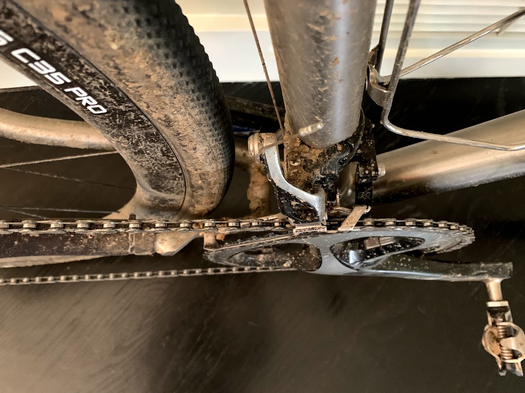
The Lynskey (as always) was great; I had no issues with the drivetrain mudding up and the Wend Wax worked without issues through all the different types of mud, dust, sand and cowshit I threw at it. I do have a couple of follow up items; I need new brake pads, I was running out of grab on some descents. I need to switch out my 3T Wheels for my Stan's Tubeless wheels and ride Tubeless, I think this will be a much more comfortable ride and obviously the sealant speaks for itself.
Don’t bring a knife to a gun fight! Lots of mechanicals this year, mostly drivetrain related. Choose your weapon wisely! Yeah, my cassette looks like the serving platter on a Cunard Cruise ship…but it’s a bad day when I run out of gears! For the record, it’s 50/34 with and 11-42. That’s way more gearing than a 1x which is often a 42 with 10/42, I may be a bit slower, but I am moving.

As for the event, this is a Class 1 event, it’s well organized and well presented, despite Sam’s underselling it of as a “Shit Show” it’s far from it. From start to finish including pre and post event communications it’s buttoned up.
Yes, it’s stupidly hard, but also stupidly fun! Unless you’re at the pointy end look up and take in the view, enjoy the company around you. Misery loves company after all!
So that’s that for another year, 5 weeks to Spndx Stampede!

 I’ll spare you nitty gritty. The climb took 44 minutes, there was some walking, some cursing, a few downs and plenty of camaraderie from others suffering. Oh and the sun had come out too…temperatures rose to 80f!